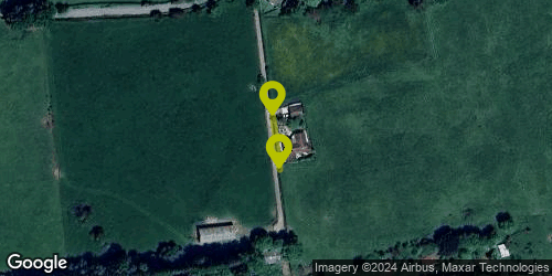
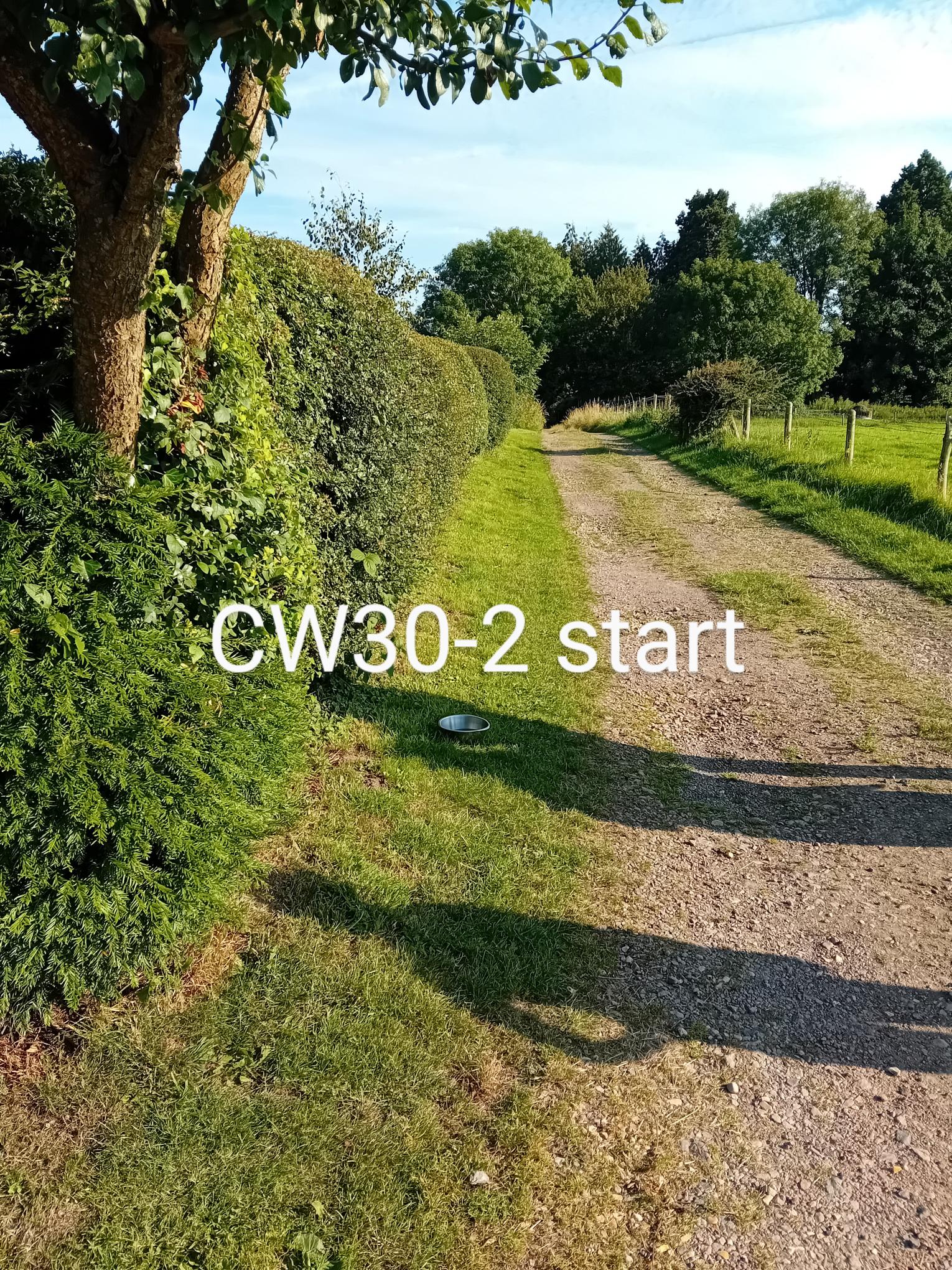
Start Location: 52.081899, -2.36455
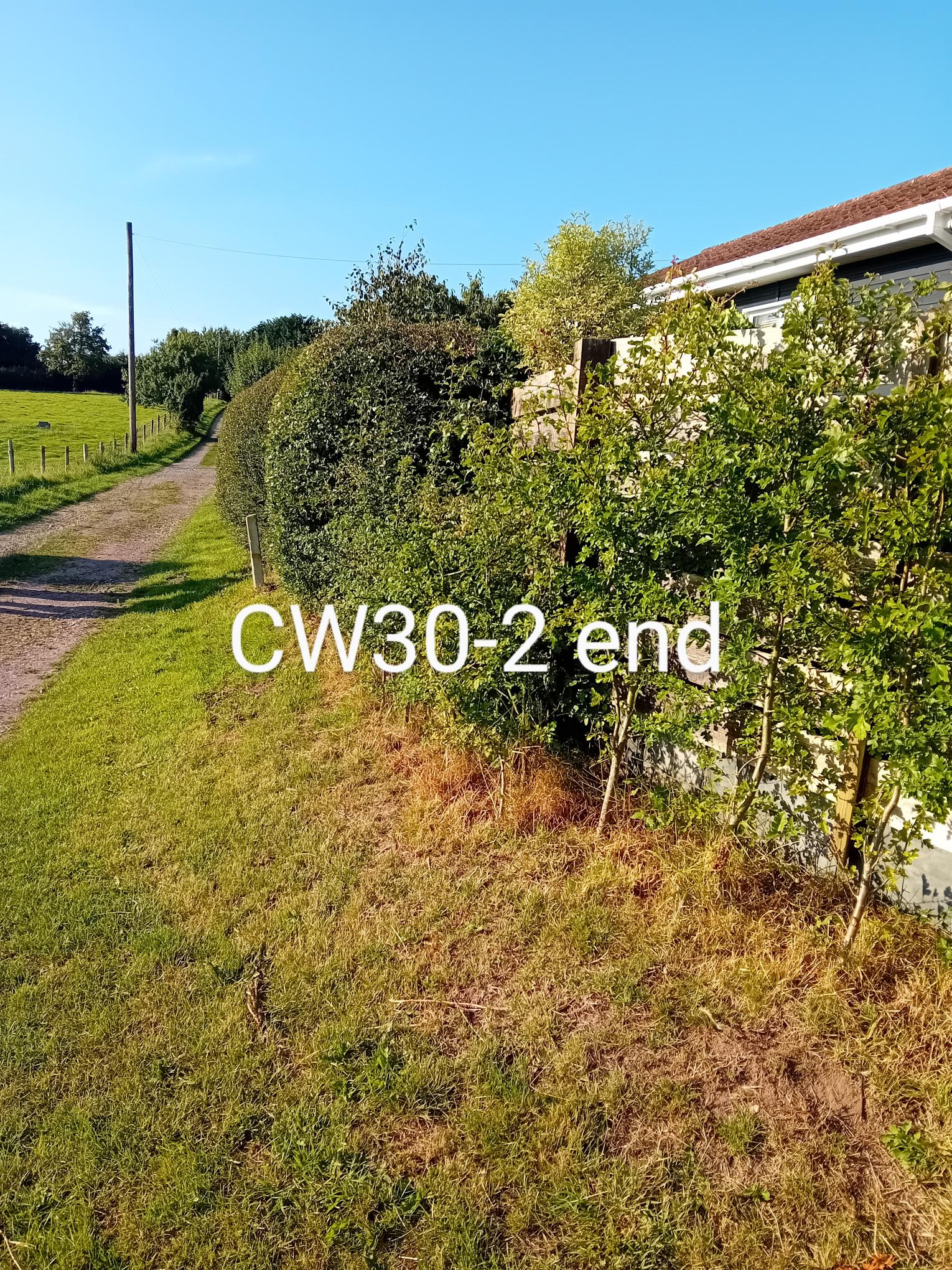
End Location: 52.081581, -2.364482
Date Surveyed: 2024-07-28
Total length (m) between nodes or intersections with other hedgerows or landscape features 35
Number of connections at Start 0 and End 0
Number of access gates/openings > 2m 0
Estimate of % gaps in whole hedge 5%
Number of gaps > 5m
Is there any evidence that any gaps have been replanted? Yes
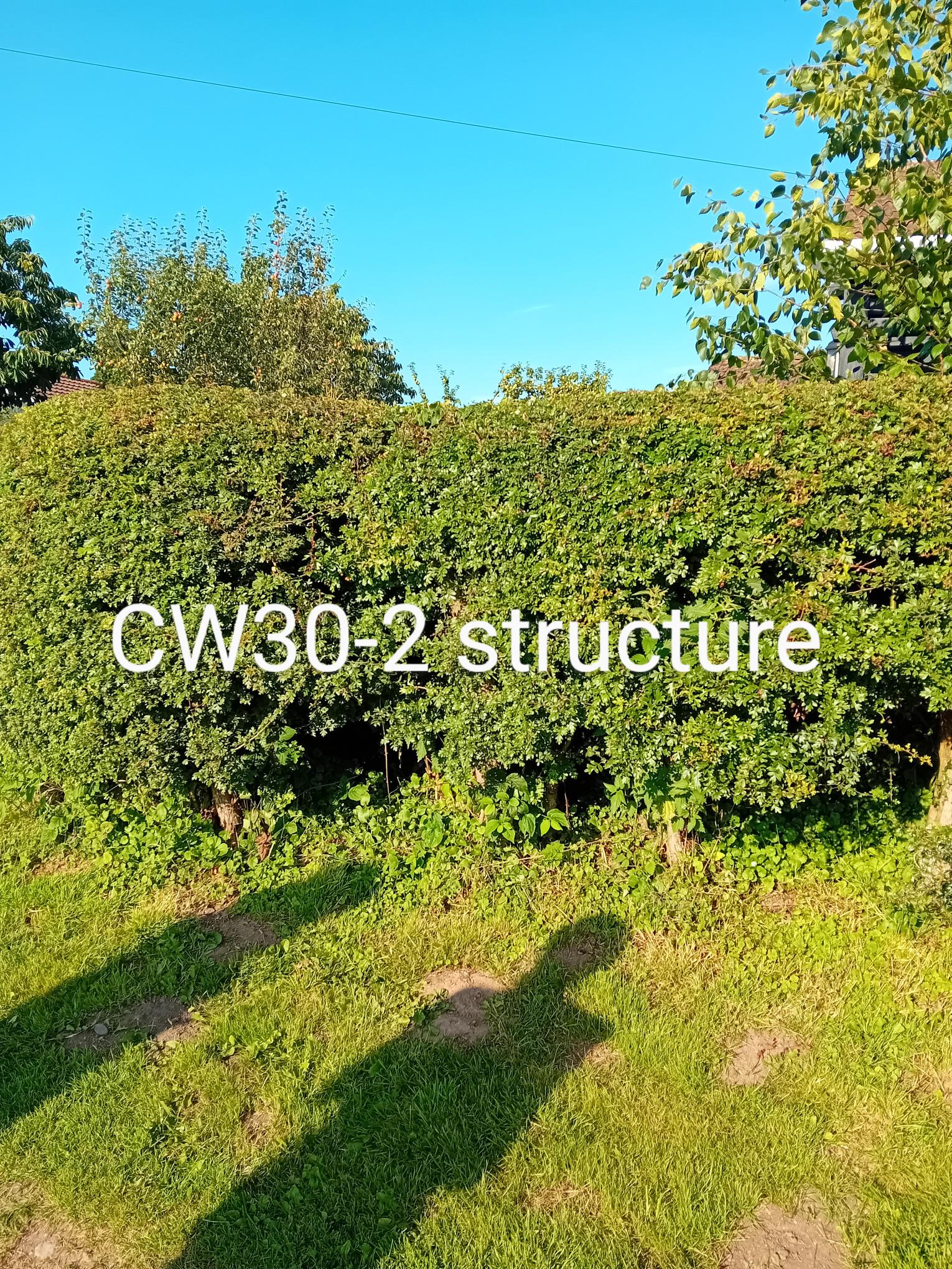
Average height (m) of the woody component of the hedge 1.9
Average width (m) at the widest point of the woody component of the hedge 1.5
Average height (m) of the base canopy of the woody component of the hedge 0.5
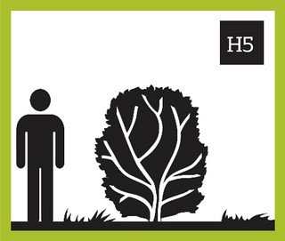
What % of the woody structure of the hedge is dead? 0%
Adjacent land use Road/Route Arable
Average width (m) of undisturbed ground from the base of the woody component 0
Average width (m) of perennial herbaceous vegetation from edge of hedge 0
Nettles 0%
Cleavers 0%
Docks 0%
Is there a bank or wall along at least half the length of the hedge? N
Is there a ditch along at least half the length of the hedgerow? N
Is there a fence along the outside of the hedgerow? N
Dogwood (Cornus sanguinea) 10%
Hawthorn (Crataegus sp.) 80%
Other (please specify) 10% Lonicera Nitida
Garden hedge