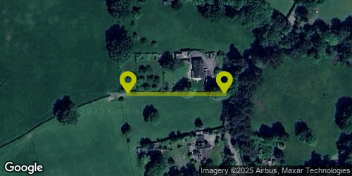
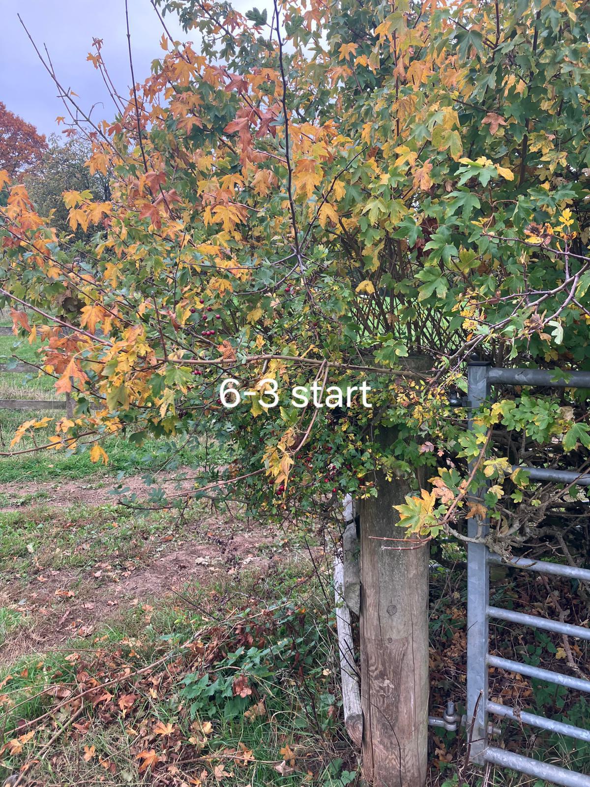
Start Location: 52.087319, -2.361291
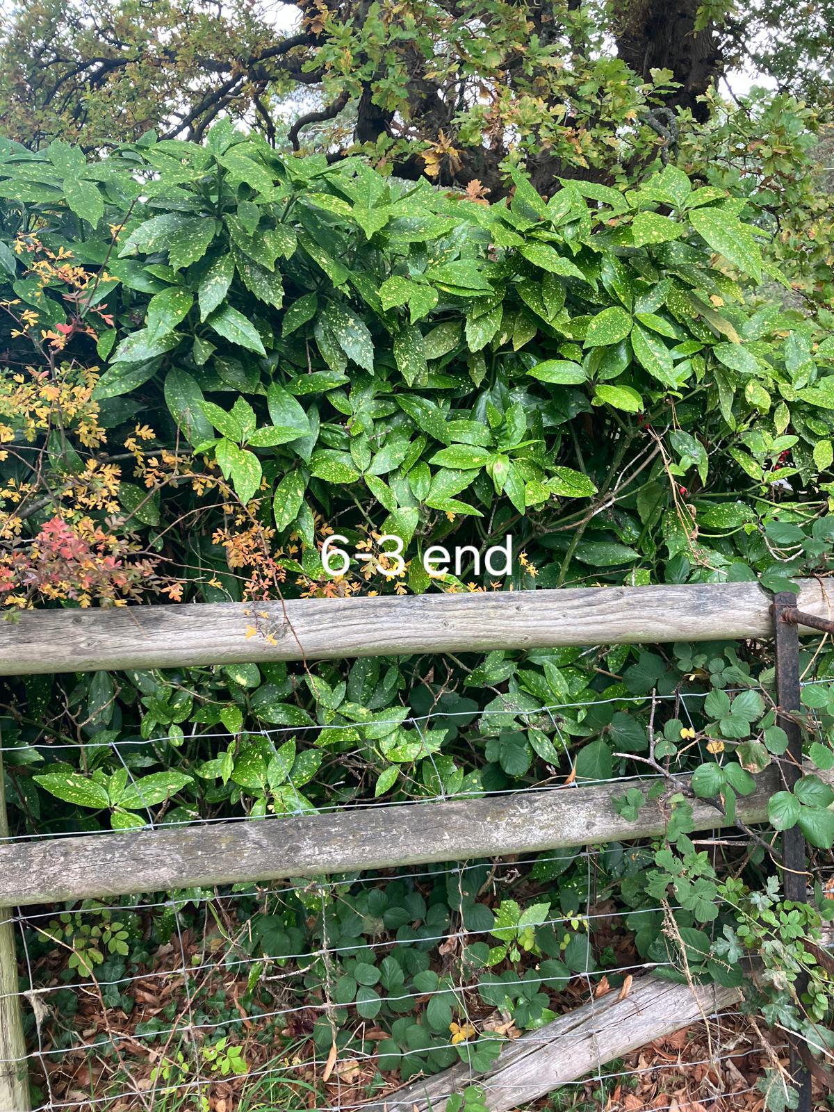
End Location: 52.087319, -2.362761
Date Surveyed: 2025-10-09
Total length (m) between nodes or intersections with other hedgerows or landscape features 100
Number of connections at Start 1 and End 0
Number of access gates/openings > 2m 0
Estimate of % gaps in whole hedge 0%
Number of gaps > 5m
Is there any evidence that any gaps have been replanted? 0
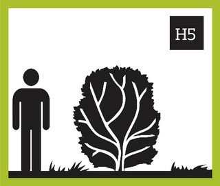
Average height (m) of the woody component of the hedge 1
Average width (m) at the widest point of the woody component of the hedge 1
Average height (m) of the base canopy of the woody component of the hedge 1
What % of the woody structure of the hedge is dead? 0%
Adjacent land use Pasture/Grass Pasture/Grass
Average width (m) of undisturbed ground from the base of the woody component
Average width (m) of perennial herbaceous vegetation from edge of hedge
Nettles 0%
Cleavers 0%
Docks 0%
Invasive non-native 0 (0%)
Is there a bank or wall along at least half the length of the hedge? N
Is there a ditch along at least half the length of the hedgerow? N
Is there a fence along the outside of the hedgerow? Y
Ash (Fraxinus excelsior) 5%
Hazel (Corylus avellana) 90%
Oak, pedunculate (Quercus robur) 5% 1 Young Trees
The orchard/field hedge turns into a garden hedge about 35 m down. The hedge is then Privet, Yew, Laurel, Hawthorn